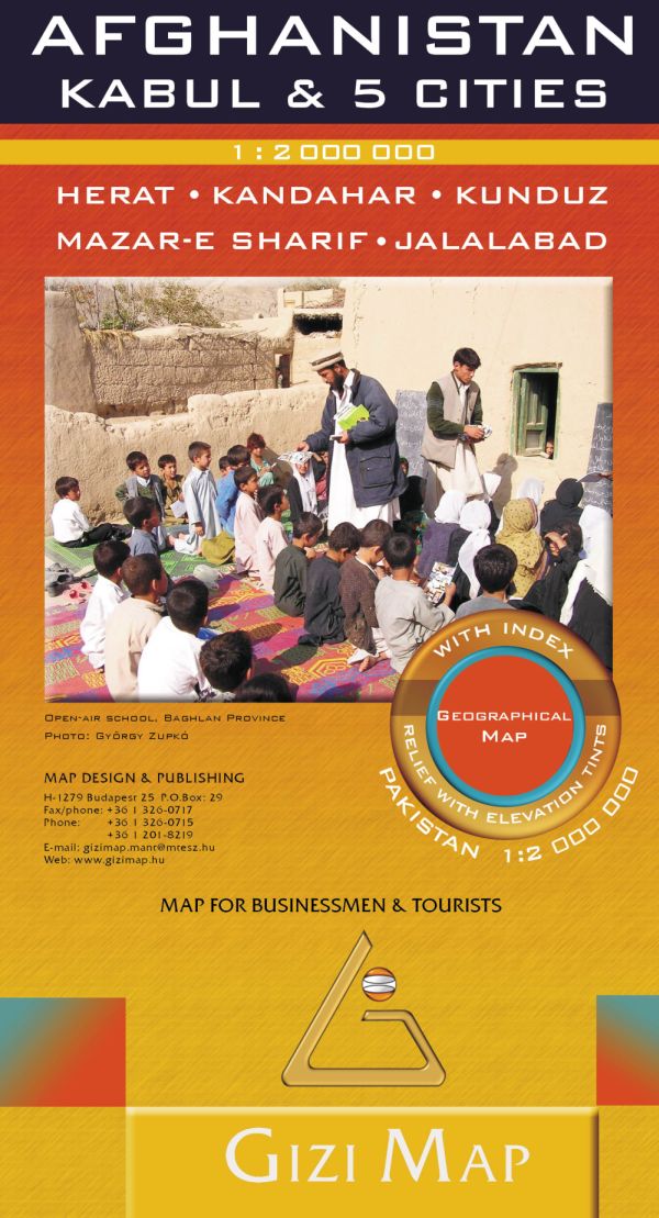
Description
On one side is a map of Afghanistan and the whole of Pakistan at 1:2,000,000. Bold altitude colouring clearly shows the physical geography of the two countries and the surrounding region, with plenty of spot heights and names of mountain and hill ranges, deserts, etc. Additional graphics indicate glaciers, deserts, swamps and salt flats.
Road network shows minor roads and selected local tracks. Railway lines are included and local airports are marked. A range of symbols indicate various places of interest, including UNESCO World Heritage sites, national parks, cultural and historical sites, etc. Also marked are internal administrative boundaries within Afghanistan and Pakistan and names of the provinces. The index lists locations in both countries. Geographical names on the map and in the index are written with Latin lettering. Relief is shown with elevation tints (hypsometry)
On the back of the map are large street plans of Afghanistan’s six main cities: Kabul, Kandahar, Herat, Jalalabad, Kunduz and Mazar-e Sharif. The plans show each city’s administrative division into districts, with plenty of names of local neighbourhoods. Main and important smaller streets are named and principal traffic arteries are highlighted. A range of symbols show various places of interest, including selected hotels, cultural and educational institutions, UN organizations and foreign embassies, etc.
Kabul is covered on maps: the city with its outer districts including the international airports at 1:35,000, with relief shading and spot heights clearly showing the city’s unique topography, plus a detailed enlargement of the central area at 1:20,000. The plans of the other five cities are at 1:25,000.