Description
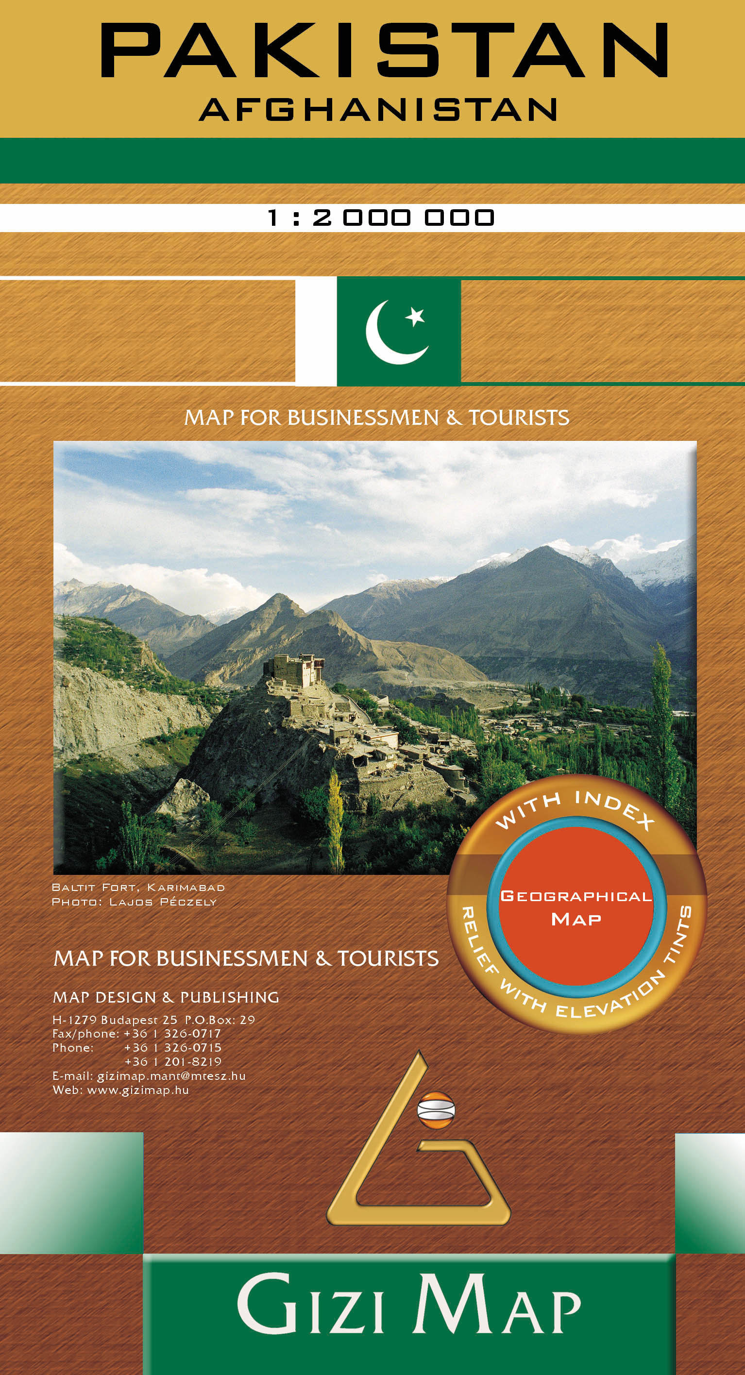
The map shows the road and rail networks, highlighting the course of the different variants of the Silk Route and other locations of historical interest. The map also shows local administrative boundaries and names of the provinces. All geographical names are written in transliterated form with Latin letters.
Topography is presented by bold altitude colouring with spot heights, plus graphic indicating deserts, swamps and salt flats, etc, and the map has plenty of names of mountain ranges, valleys, and various other geographical features. Latitude and longitude lines are drawn at 1° intervals. The index placed next to the map lists only locations within Pakistan. Map legend is in 5 languages. English, German, French, Russian and Arab.