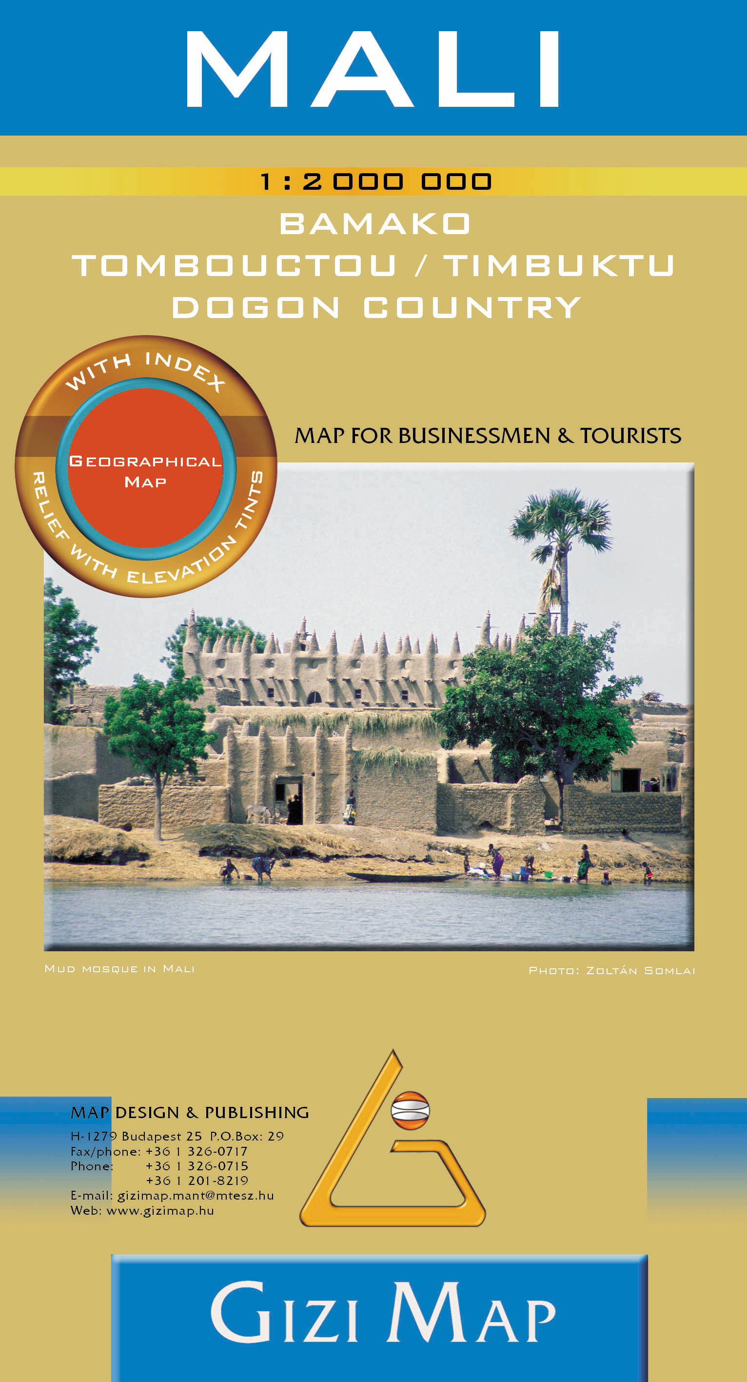
Description
Inset maps: Bamako1:50.000, Central Bamako 1:12.000, Tombouctou (Timbuktu) 1:10.000 and Dogon country 1.1.500.000 (this is the most interesting region of Mali)
Legend in 5 languages (English, German, French, Italian, Arabic)
The map shows the very important river ferries and ports on Niger (there are nearly no bridges on it). The road classsification refers mostly the importancy of the roads, because the European road classes can not be used in this part of the World.
Airports, air fields, World heritage sites, national parks, archeological sites, mosques, fortreses, oases, caves, administrative boundaries and names are also depicted on the map.