Description
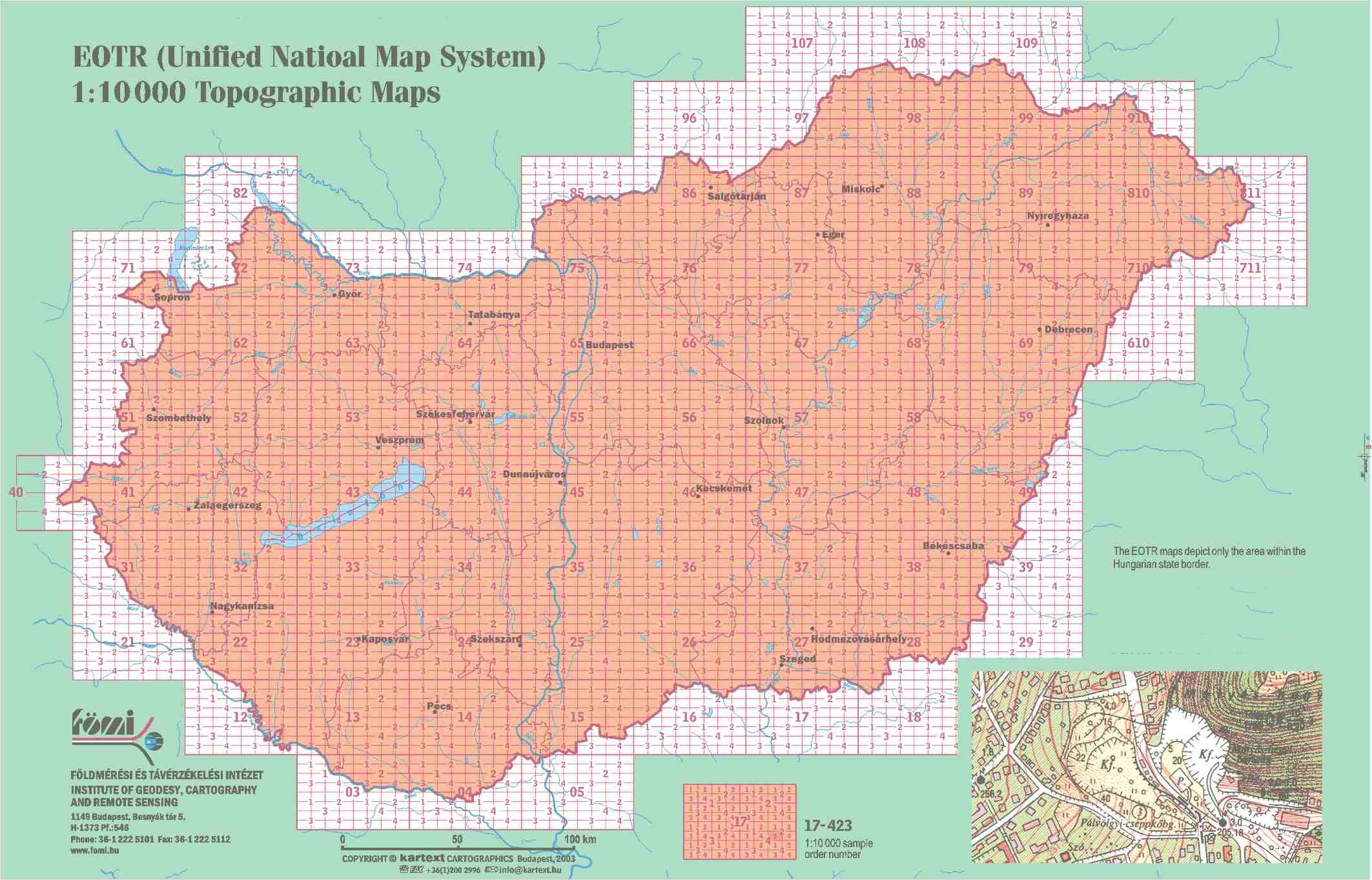
These large scale topographic maps are similar to those in other countries. They contain nearly all geographical features, both natural and man-made ones (such as hydrography, roads, railways, boundaries, relief, areas of different plants, forests etc.) with the same density. The settlements have some characteristics of the administrative subordination. The EOTR maps are compiled in Unified National Projection (EOV) and were published between 1975 and 2000. That is why some sheets aer out of print. For these sheets FÖMI (Institute for Geodesy and Remote Sensing) sells B/W xerox copies for the price of the original prints. One sheet costs 12 EUR (colour offset print or B/W xerox copy).