Description
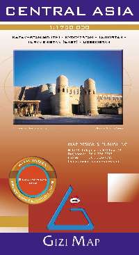
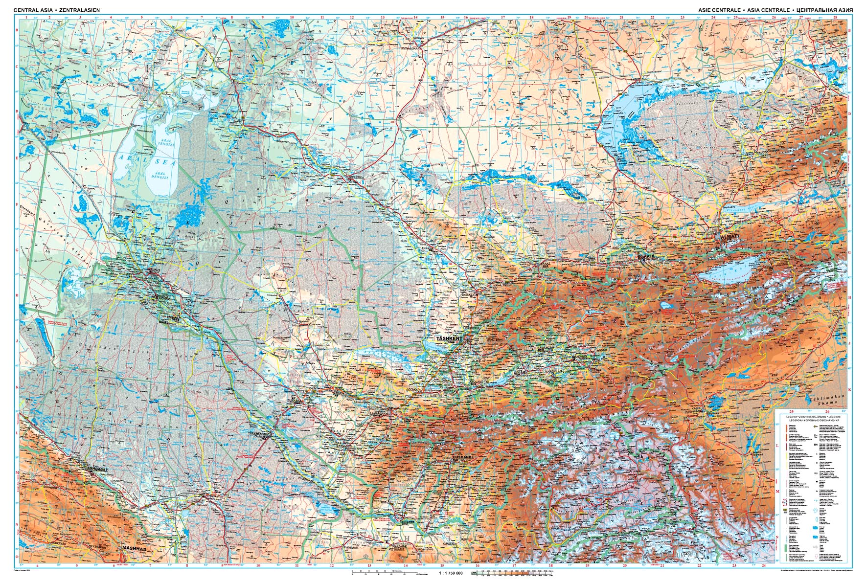
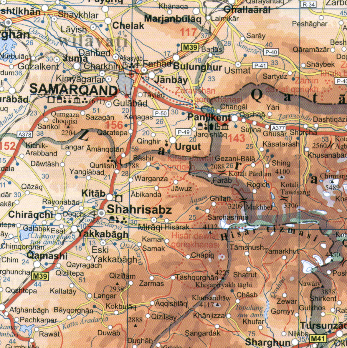
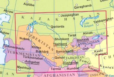
The map shows the region’s rail and road networks, including selected dirt tracks, give driving distances on major roads, and highlight several variants of the Silk Route. All geographical names are transliterated (given with Latin lettering); local administrative boundaries are marked and names of provinces are shown.
Detailed topographic information includes names of mountain ranges, deserts and other geographical features, numerous spot heights and peak names, swamps and salt flats, glaciers, etc. National parks are marked. Index of localities is on the reverse of the map. Map legend includes English.
The relief is shown with elevation tints (hypsometry). Please note, that we also have the s.c. road version of the Central Asia map (Altitude colouring has been replaced by relief shading to provide a clearer background for the road and rail networks)

